Casselman River · Laurel Highlands
Casselman River: Markleton to Harnedsville
Too low
362 cfs
Gauge 03079000 · Sep 14, 8:30 PM (39 min ago)
Above normal
About the 89th percentile for today (1921–2024)
- 500 min runnable
- 800–2,500 ideal
- 4,000 max safe (cfs)
Thresholds are editorial starting points, not official advisories. Scout, check dam-release schedules, and never rely on a single number.
.jpg)
The run
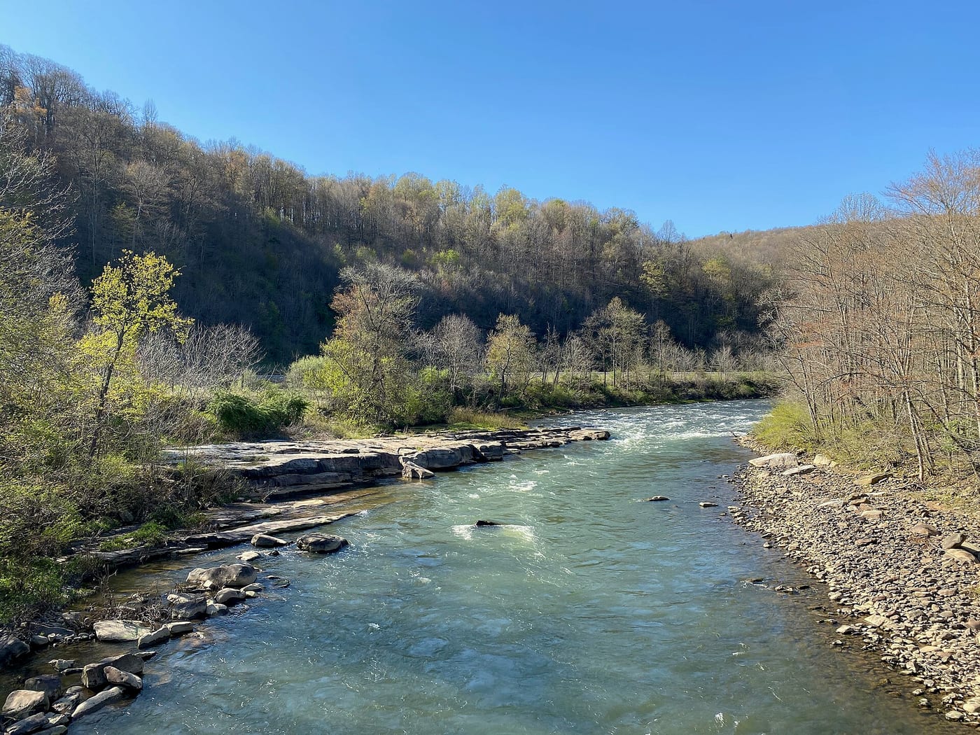
A spring-fed Class II run through a wooded valley beside the Great Allegheny Passage, with continuous rapids at good flows and a remote feel.
Hazards
Strainers after storms; needs rain or snowmelt, so check the gauge the morning of.
Season
March-May and after heavy rain.
Last 7 days
Loading readings…
Streamflow at Casselman River at Markleton, PA · USGS page
Put-in & take-out
Where it is
Run geometry is a straight put-in → take-out line; coordinates are approximate. Open the full map