Delaware River · Pocono Mountains
Upper Delaware: Ten Mile River to Highland
Flow guidance not calibrated
2,520 cfs
Gauge 01428500 · Sep 14, 8:45 PM (1 h ago)
Unknown
Flow guidance not calibrated for this run.
Thresholds are editorial starting points, not official advisories. Scout, check dam-release schedules, and never rely on a single number.
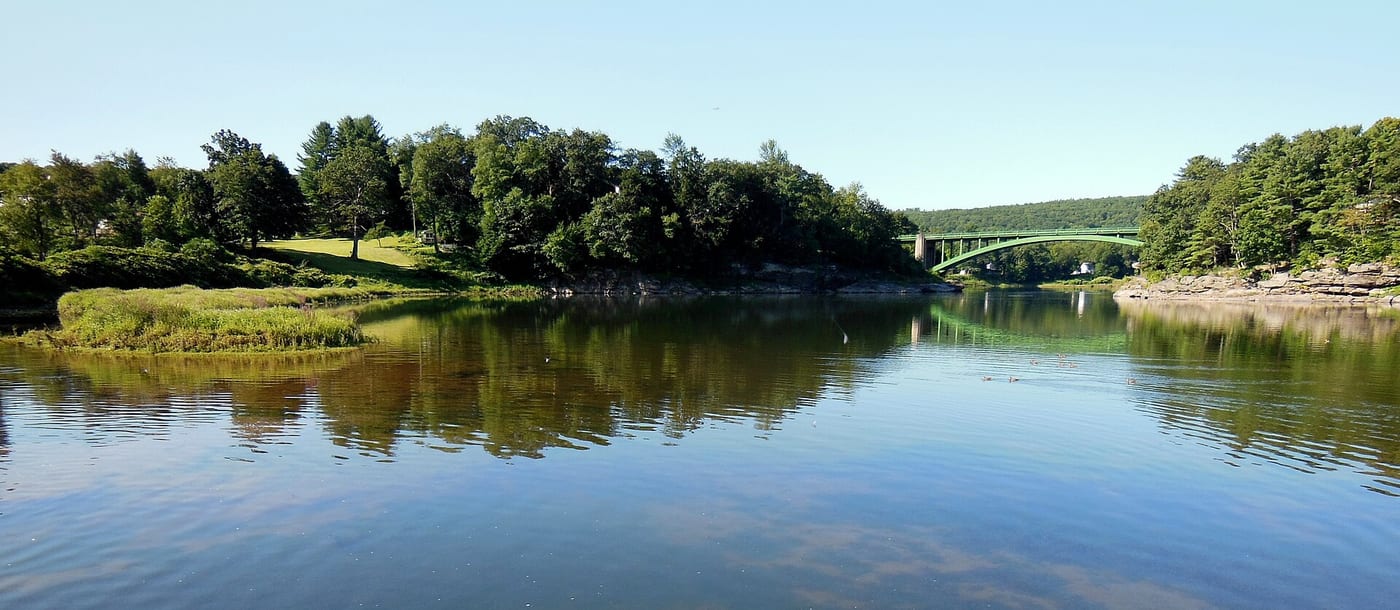
.jpg)
Sources & planning
Waterway map River lines, waterbody outlines & access points
The run
A border-river trip between NPS-listed public accesses; mileage is approximate. Arrange your shuttle before launching.
Hazards
Rapids, current and cold water require scouting and suitable skills. Cell service is limited; banks are mostly private.
Last 7 days
Loading readings…
Streamflow at DELAWARE R ABOVE LACKAWAXEN R NEAR BARRYVILLE NY · USGS page
Put-in & take-out
Where it is
This overview may use a schematic endpoint connection. Use reviewed waterway geometry above when available; do not navigate from this line. Open the full map