Delaware River · Philadelphia & the Countryside
Delaware River: Upper Black Eddy to Point Pleasant
5,380 cfs
Gauge 01457500 · Sep 14, 9:30 PM (27 min ago)
About the 47th percentile for today (2019–2024)
- 1,500 min runnable
- 2,500–12,000 ideal
- 25,000 max safe (cfs)
Thresholds are editorial starting points, not official advisories. Scout, check dam-release schedules, and never rely on a single number.

Waterway map River lines, waterbody outlines & access points
The run
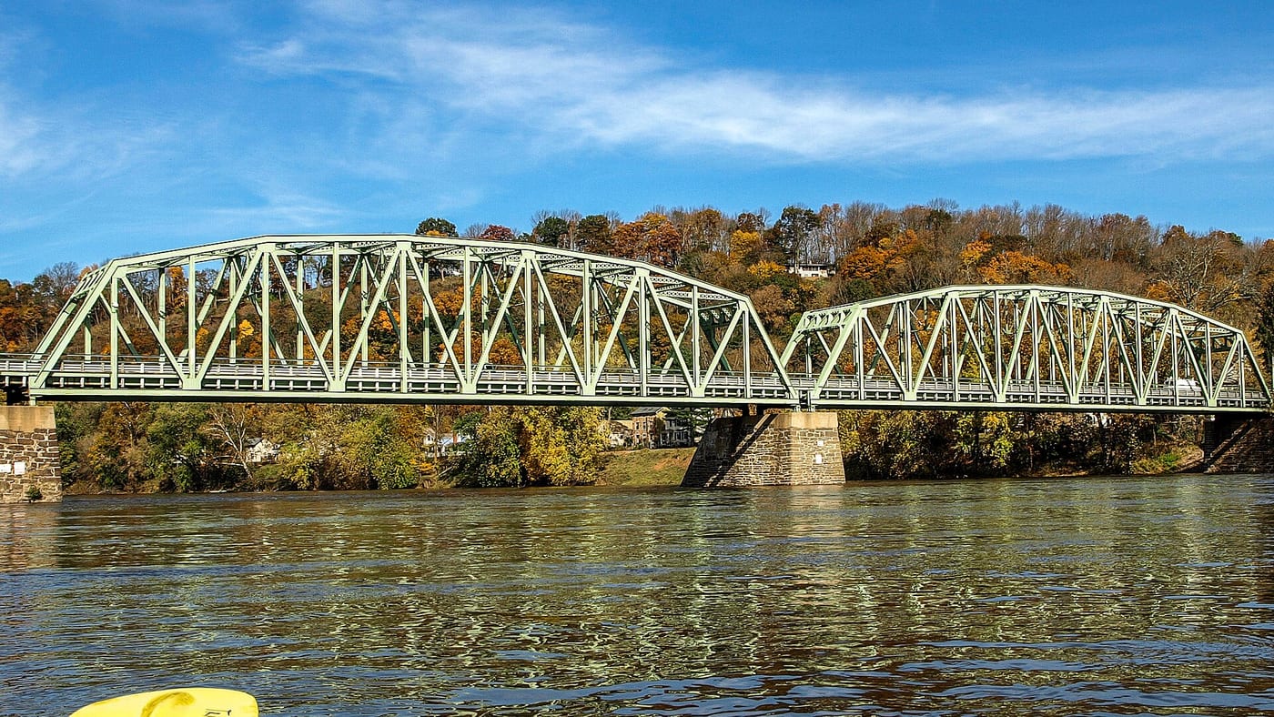
Bucks County's most popular stretch: river islands, the Tinicum palisades, and easy riffles, with the Delaware Canal towpath along the PA bank for a bike shuttle.
Hazards
Wing dams and rock gardens show up at low water; fast current when the river runs high.
Season
April-October.
Last 7 days
Streamflow at Delaware River at Riegelsville NJ · USGS page
Put-in & take-out
Where it is
This overview may use a schematic endpoint connection. Use reviewed waterway geometry above when available; do not navigate from this line. Open the full map