Delaware River · Pocono Mountains
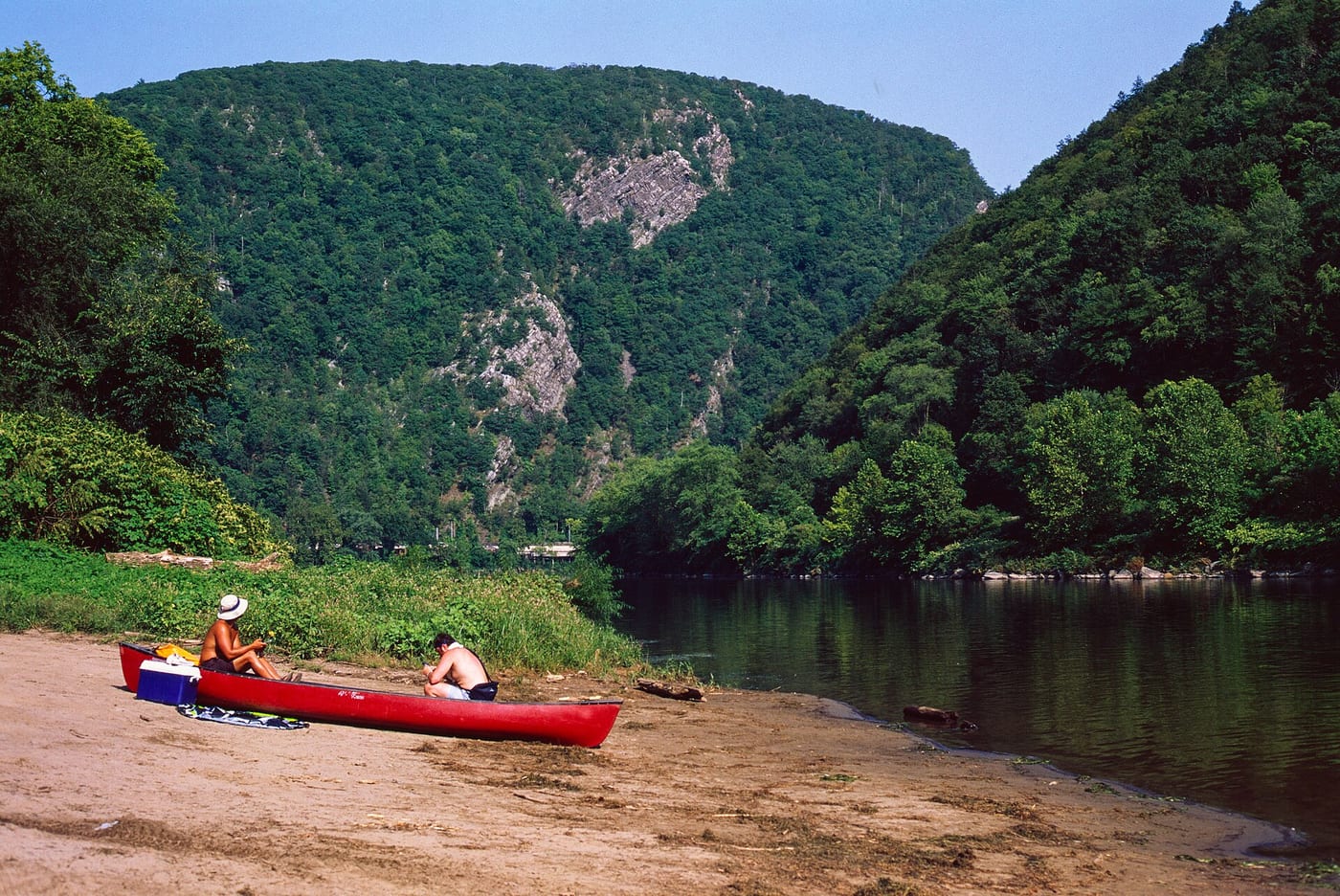
Delaware Water Gap: Smithfield Beach to Kittatinny Point
4,080 cfs
Gauge 01438500 · Sep 14, 9:30 PM (32 min ago)
About the 83rd percentile for today (1940–2025)
- 1,000 min runnable
- 1,500–8,000 ideal
- 15,000 max safe (cfs)
Thresholds are editorial starting points, not official advisories. Scout, check dam-release schedules, and never rely on a single number.

Waterway map River lines, waterbody outlines & access points
The run
The signature float through the Delaware Water Gap National Recreation Area, ending under the cliffs of the Gap itself. Wide, forgiving water that suits stand-up paddleboards at normal summer flows.
Hazards
Strong current and debris after storms; heavy weekend traffic and rental tubes near Shawnee.
Season
May-October.
Last 7 days
Streamflow at Delaware River at Montague NJ · USGS page
Put-in & take-out
Where it is
This overview may use a schematic endpoint connection. Use reviewed waterway geometry above when available; do not navigate from this line. Open the full map